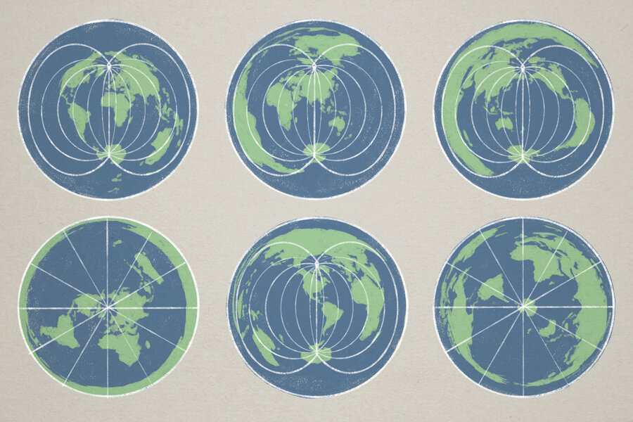
A new United Nations-backed map aims to correct long-standing distortions in how continents and countries are visually represented, offering a more accurate portrayal of their true sizes. The initiative seeks to challenge outdated geographical misconceptions that have persisted for generations, potentially reshaping global perspectives. While the map itself does not change physical geography, it could influence how people perceive international relations and spatial relationships. Supporters argue it may foster a more informed approach to geopolitical discussions worldwide.
The United Nations recently voted in favor of a map that depicts the relative size of continents and countries more accurately. This doesn’t alter geography, but it could help replace outworn perceptions and broaden geopolitical understanding.


